Job Title
Technical Officer, Geospatial Unit, Land and Water Division
Company
FAO
Speaking At
SUMMIT ON EARTH OBSERVATION BUSINESS
Bio
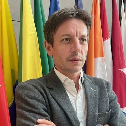
PhD in forest ecology and modelling advanced M.S. in tropical agronomy. Over 15 years of professional experience with international organizations in tropical agronomy, forestry, land management, carbon cycling, geographic information system, remote sensing, and climate change. More than 10 years in FAO, responsible for supporting countries in deploying geospatial tools to support national plans and international reporting frameworks. He’s working on the following:• Support the preparation and use of international standards, methodologies and approaches for monitoring natural resources including land cover and ecosystem components (soil, vegetation, water), convenor of International Standard Organization Advisory Group 13 on Land Cover Land Use under Technical Committee 211 on Geographic information/Geomatics;
• Support the coordination and integration of streamlined field surveys and geospatial activities, systems, methodologies and data analytics;
• Assist capacity development plans on geospatial technologies, including Earth Observation data access, processing and analysis and preparation of technical reports, training and workshop materials;
• Support countries for the deployment of geospatial tools for different applications (land cover, agro-ecological zoning, ecosystem services, environmental monitoring, land restoration, national system, emergency) in support to national plans and strategies;
• Strengthen partnerships and collaboration on geospatial including through the United Nations Committee of Experts on Global Geospatial Information Management (UN-GGIM), UN Geosaptial Network, United Nations Office for Outer Space Affairs, Committee on Earth Observation Satellites, the Group on Earth Observations and international conventions and regional programmes.
Speaking
20September
15:10 / 15:40
Concorde
SUMMIT ON EARTH OBSERVATION BUSINESS
Tackling Food Security Challenges with Satellite Intelligence


